The 16 km long David Scott trail is what’s left of a 130 km trade route from Assam to Bangladesh. David Scott, the first British Administrator in Assam, was instrumental in building the trail in 1827-1829 to lessen the distance and to escape the heat of travelling from the Assam plains to Sylhet.[1]
It is also the living animal corridor between Meghalaya and Bangladesh along the course of the river Umiam Mawphlang and Mawphlang Sacred Forest.
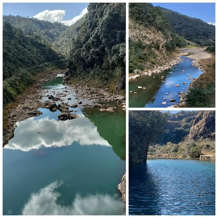
The trail offers everything you could ask for. Dense forests, open plains, streams and rivers. Panoramic views of valleys and crystal clear water reflecting the surrounding mountains. Narrow roads that lead to dreamy forest lands.
It’s like you’re on a boat, sailing in an ocean of natural beauty.
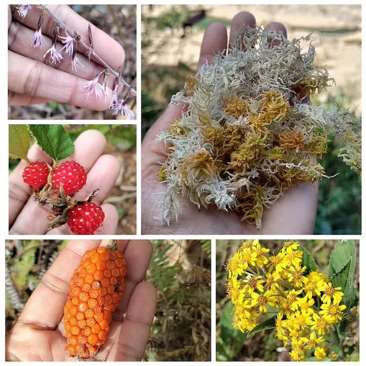
The trail is rich in flora. 101 plus herbs and medicinal plants were discovered on the trail. Pine trees, wild berries, moss and colourful flowers are found in abundance.
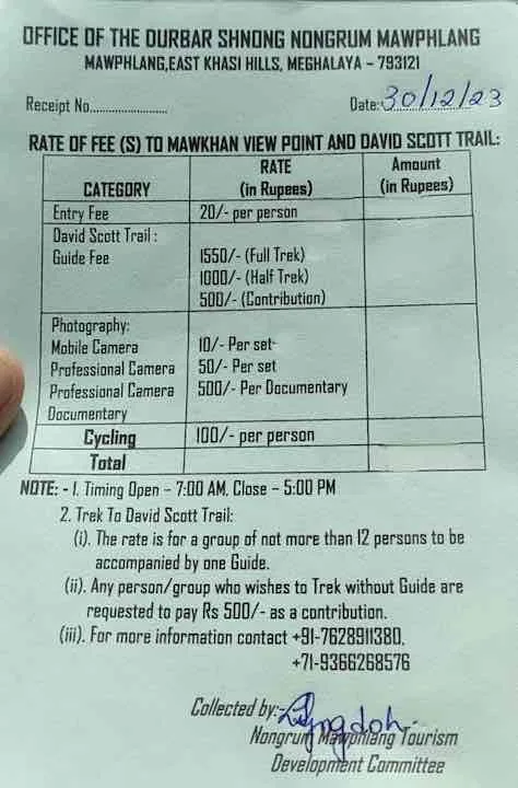
Guide details
Guides are provided by the Mawphlang Guide Committee. For a full trek, the guide fee is ₹1550. You can call them on, +91 8837456191, a day in advance to book your slot.
Trail information
The trailhead (0 km)
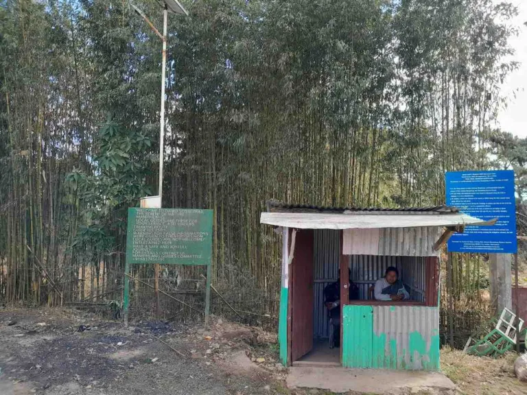
The trail starts from Mawphlang. There’s a kiosk for tickets.
Ka Kor Ka Shonmai (500 m)
A 5-min walk from the ticket counter is a place called ‘KA KOR KA SHONMAI’ (named after a daughter of Dorsing Lyngdoh, the 1st Lyngdoh with the British Sanad).
The Tomb of Camilla, Mawsahep (2 km)
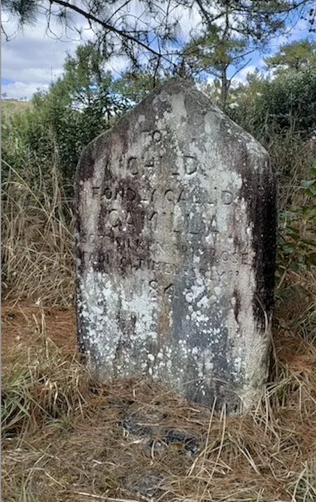
The tomb consists of a square raised plinth of well-cut stones and an upright memorial which reads, “To a Child Fondly Called Camilla Soft Silken Primrose Fading Timelessly 1843“.
No local records exist of the grave but Don Papworth of the British Association for Cemeteries in South Asia, thinks it’s possible that an English family travelling along the road suffered a sudden bereavement on what must have been a hazardous journey and that their young daughter was buried by the road-side, the grave later being marked by a properly carved stone.
The inscription is unique among 19th century epitaphs, for there is no family name, no cause or exact date of death, no expression of regret, and most strangely, no religious references.
Because of its isolated situation and haunting words it has become one of the most interesting tombs of India, recorded in the BACSA archives. [2]
After about an hour from the ticket counter, you find the first resting point with drinking water.
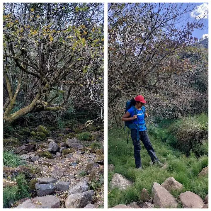

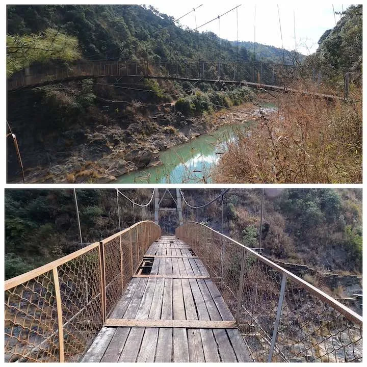
Suspension bridge, Weidung (5 km)
This bridge offers spectacular views on both sides. An older bridge was washed away by a flash flood here on the 8th of September 2007. A newer one was reconstructed by PWD, Meghalaya Tourism and PHE Department. Construction started in 2008–2009 and was completed in 2012.
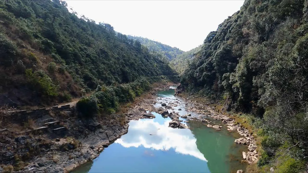
Wahtham Valley (6 km)
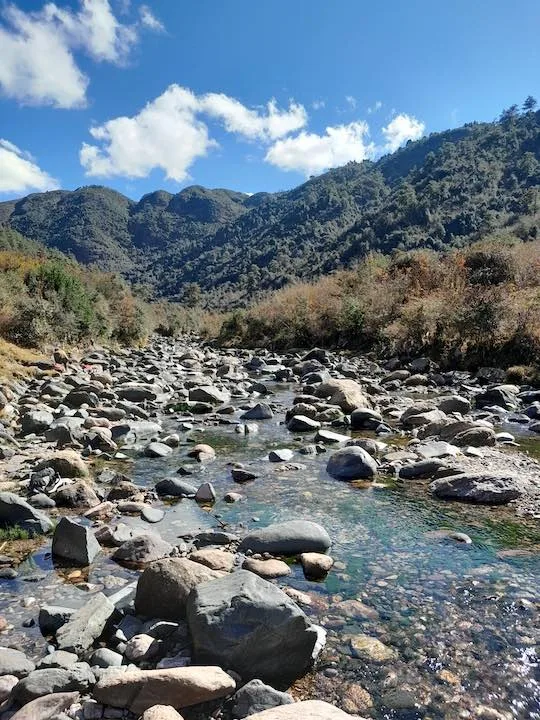
After crossing the bridge, walk through the Wahtham valley lowland. It is the lowest point on the trail. A little ahead is a stream with crystal clear water. The bridge to cross this steam was washed away 90 years ago due to swelling waters of the monsoon.
Laitsohma village (9 km)
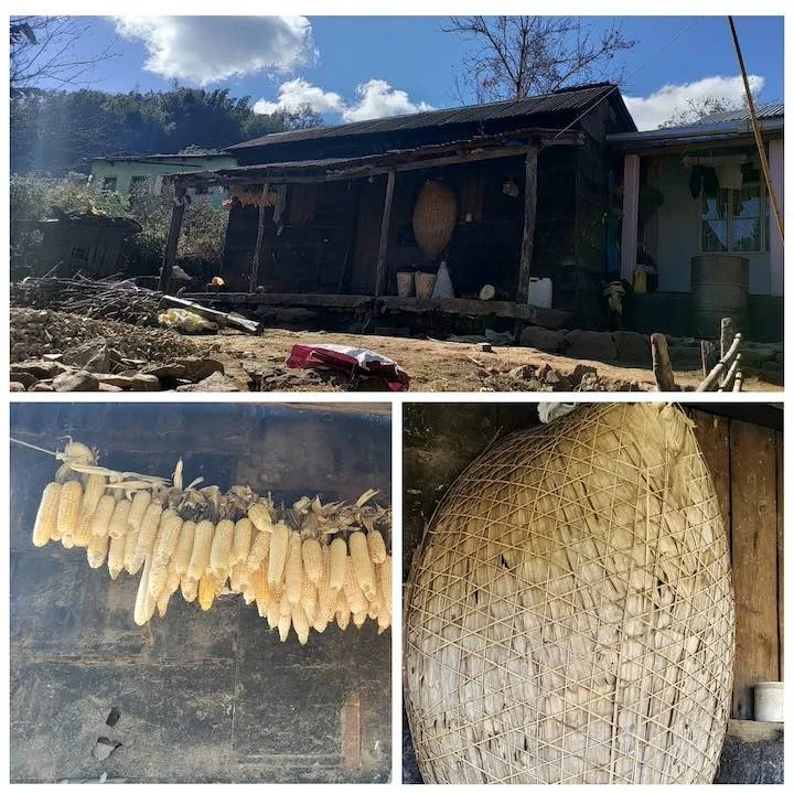
It was wedding day at Laitsohma, the smallest village in Meghalaya. Women cooked while the men decorated houses. Children and puppies ran around playing gleefully.
Guests were welcomed by the mother of the bride. A warm, kindly lady who offered weary trekkers traditional Khasi food, Pokhlei and Pusaw.

Laitsohma lies about halfway into the David Scott trail from Mawphlang. You can stop at this picturesque village for lunch.
The Arch Bridge, Mawnguidbriew (12 km)
From Laitsohma, a 3 km walk through plateaus takes you to a stone bridge. This area is very scenic. You can spot beautiful lakes, man made ponds, waterfalls and enormous naturally carved rocks.
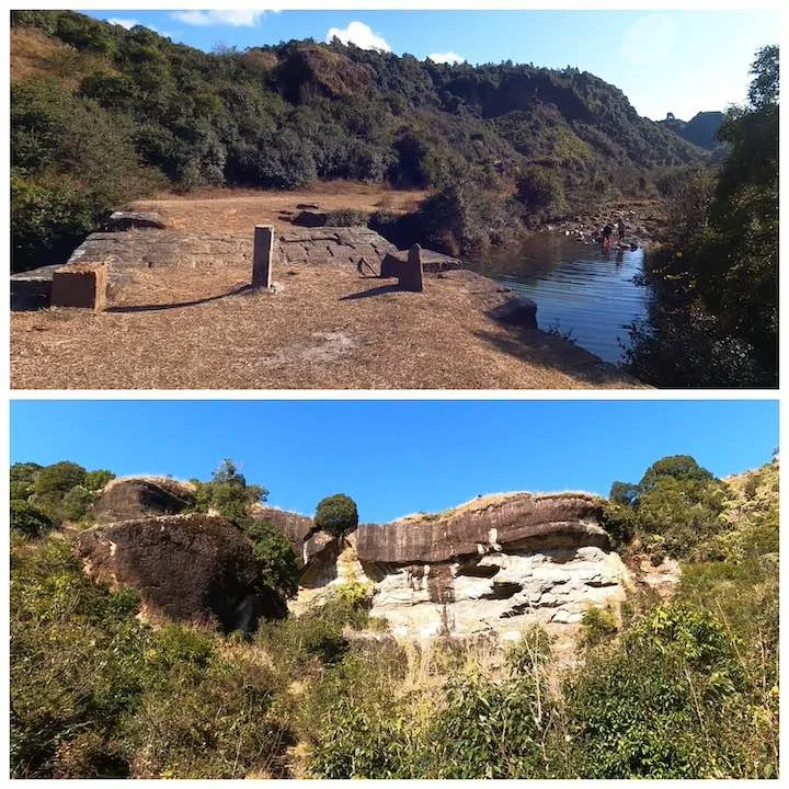

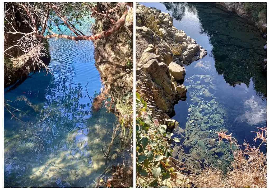
From here, the trail descends 2 more kilometres to reach Wah-Umiong River and then climbs up to the Sohra Main Road.
Lad Mawphlang (16 km)
A short climb over steps leads to the main road. This is the final point of the trek.
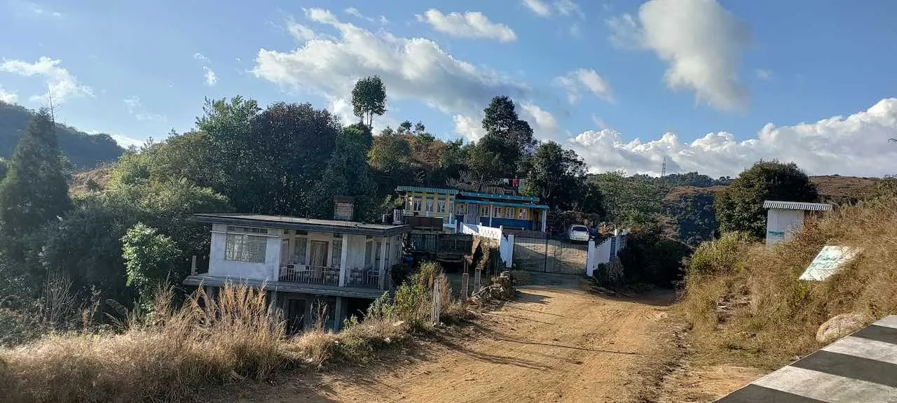
You can stop at Highway shacks on the way to Shillong for good food.
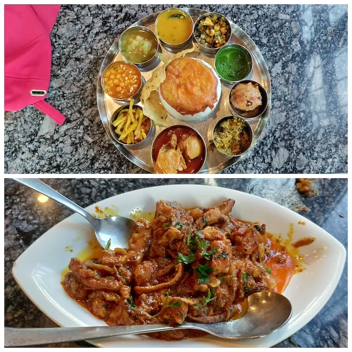

Friends made during treks are for a lifetime.
Sujit Mallick
If you have any questions, please don’t hesitate to leave a comment below. We’ll get back to you as soon as possible.

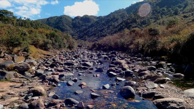


Very well written blog..nice and crisp, gives all relevant information for anyone planning a trip to the place
Meghalaya is beautiful.