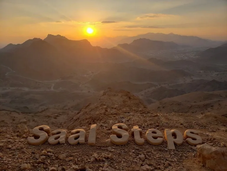
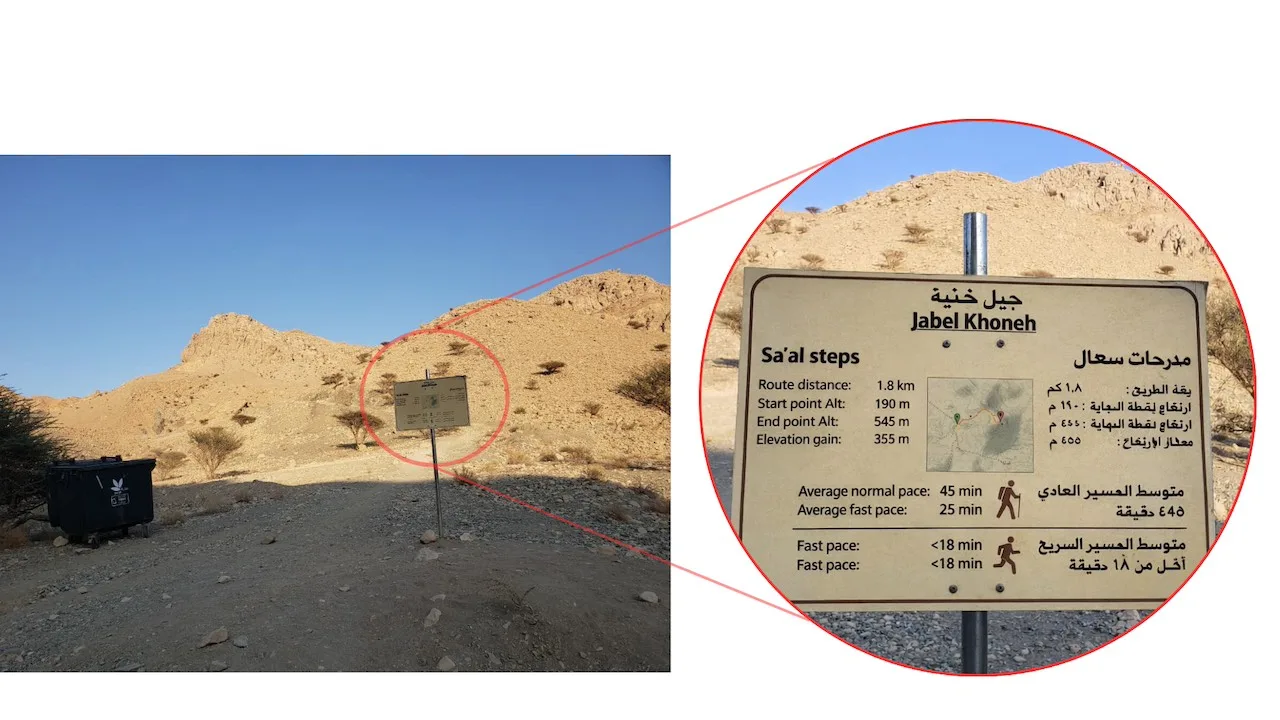
The Saal Steps (also spelled as Sa’al steps) are a concrete stairway on the slopes of Jebel Khoneh, a mountain near the villages of Sa’al and Fanja, on the outskirts of Muscat, Oman. A moderately challenging hike, the trail crosses dry, rocky terrain, climbs around 600 concrete steps, and ends near a large satellite receiver. To get to the starting point, you can navigate to either of these two points:
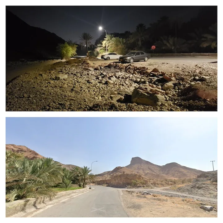
- With a 4×4 car, you can go directly to the base of the Saal hike here, Saal stairs parking spot.
- Without a 4×4, to avoid off-roading, you can park here, Saal hike and follow the trail on the dirt road to reach the base.
We went with option 2 and walked for around 2 hours, covering about 7 km in total, from the parking area to the peak and back. The actual hike, from the base of the mountain to the peak and back, is around 3.35 km with an elevation gain of 400m. We recorded our hike in this GPX file: Saal Steps GPX. You can upload it to Gaia GPS or any map app to follow the trail.
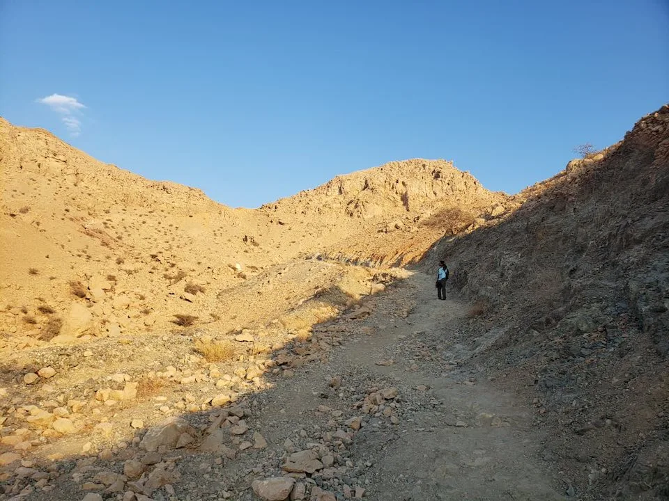
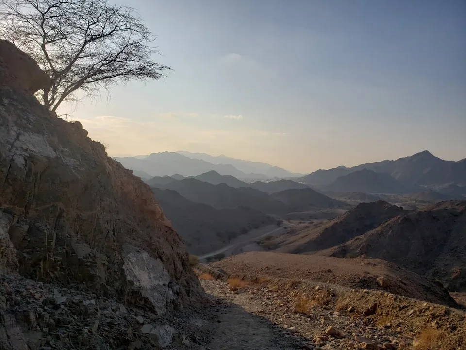
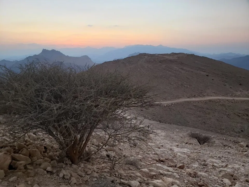
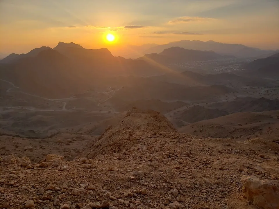
From the base, the trail runs over dry rocky terrain and ascends steeply. The view gets more incredible with each step as the layers of mountains are slowly revealed.
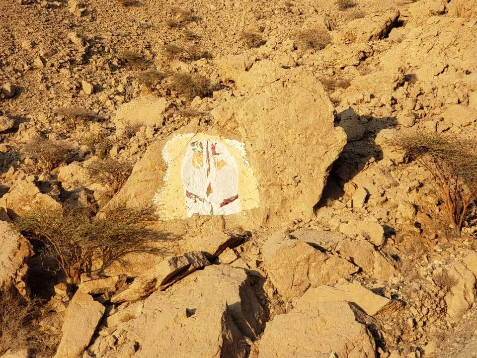
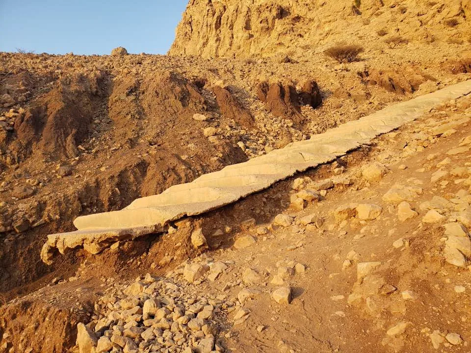
At about the halfway point, the dirt trail meets the first of the 600 Saal steps. The concrete steps are tall and wide with each one effectively requiring two steps: one to climb atop and another to walk across it. A count of the remaining steps is painted in red on every 100th step. Watch out for the broken steps at the start.
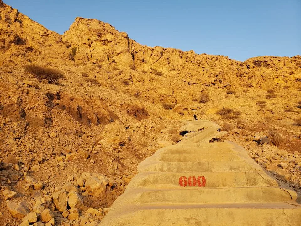
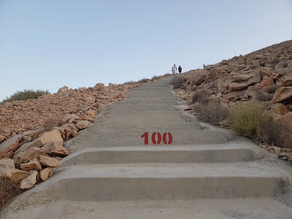
The step marked 100 is deceptive. It informs you that a hundred steps remain, but your mind interprets it as only a hundred steps lie between you and the peak. As you get close to step 0, you realize that this is not so. The steps merge onto a trail that runs straight over flat land before climbing steeply to the left.
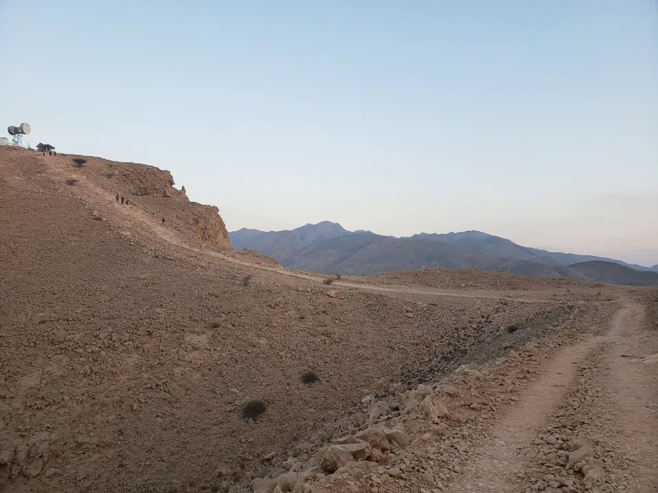
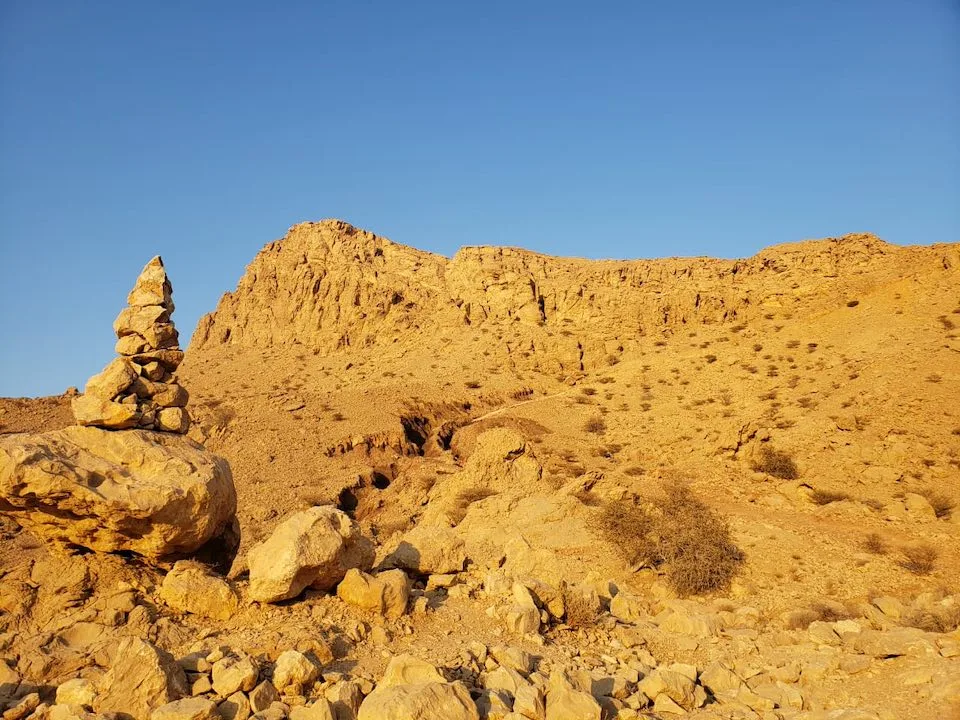
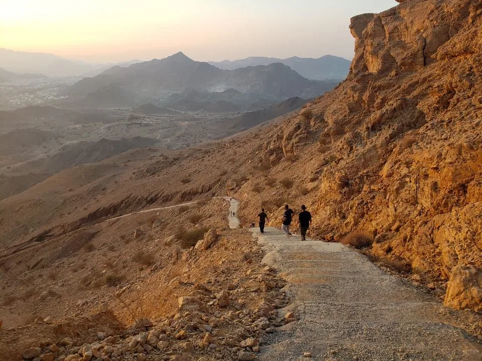
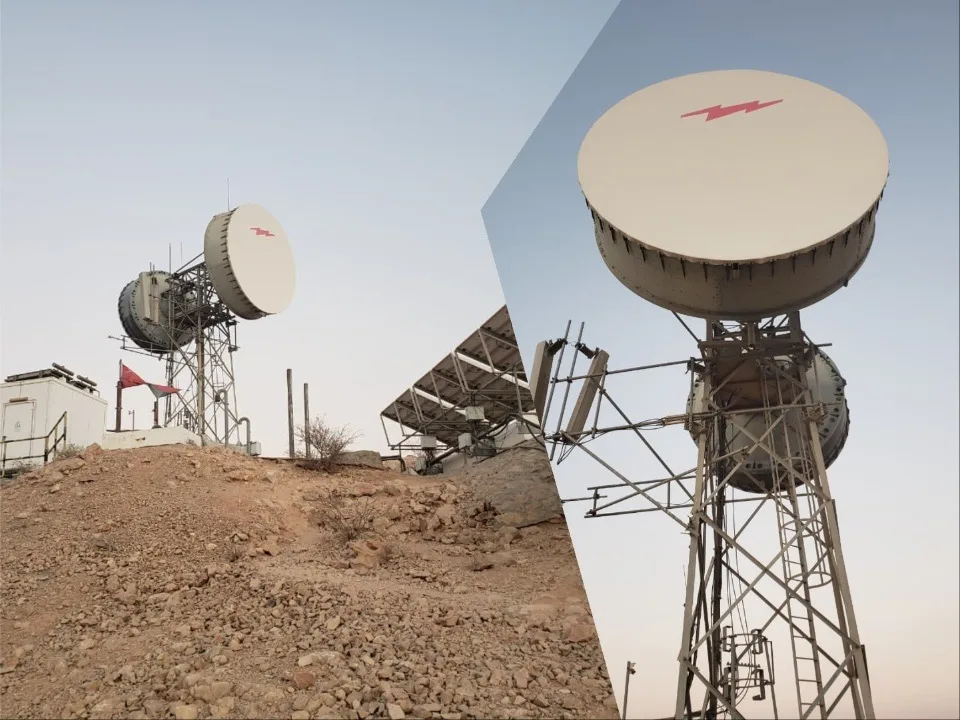
Beyond the ascent lies the peak with a large satellite receiver and a spectacular view.
Tips
- If you’re using Google Maps, follow directions to Saal hike. We tried navigating to Sa’al stairs parking spot and Fanja Stairs Trail but ended up on dead ends and roads involving off-roading for more than 4 km. From the Saal hike point, you can get to Sa’al stairs parking spot by walk or by a 4×4 car.
- Early mornings and evenings are a good time for the hike. There is no shade, so afternoons are difficult.
- Carry a torch if you’re hiking after sunset. There are no lights on the trail and the city lights are too far away.
- Carry enough water and food as it is not available on the hike.
Gear we recommend


Difficult roads often lead to beautiful destinations
Zig Ziglar