You look down.
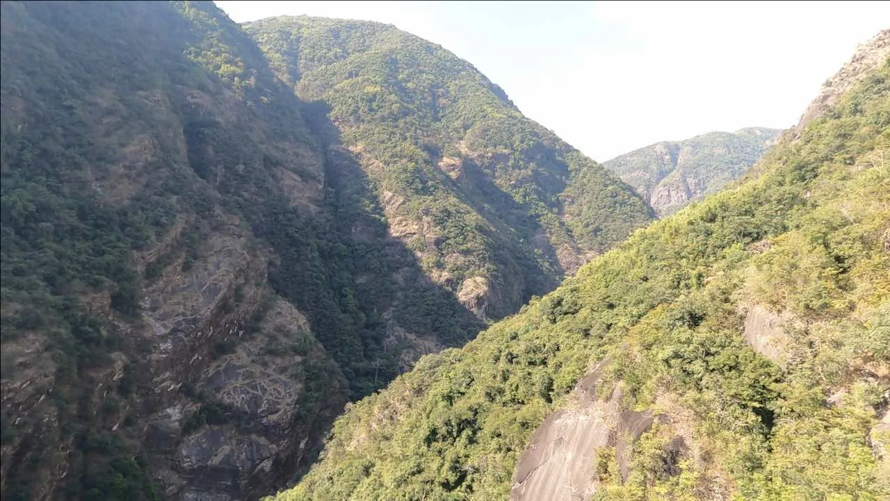
Through the gaps in between the rungs of bamboo on which you stand, you see an endless gorge.
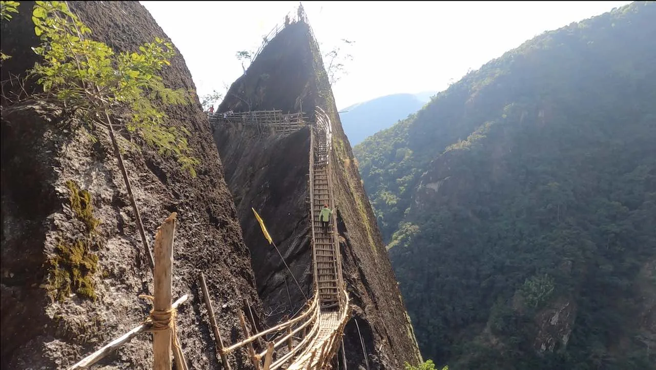
You turn right and see the black rock wall of a cliff that towers over you and extends as far back and as far ahead as you can see.
To your left, you see lush green mountains and above you is clear blue sky.
You are a few hundred feet above the surface of the gorge and a few hundred feet below the top of the cliff on your right. You are walking carefully on bamboo poles tied together with cane ropes and anchored to the side of a cliff.
Where are you?
You are on the Mawryngkhang Trek, also called as the Bamboo trail in Wahkhen, Meghalaya.
Built with over fifty bamboo bridges, this exhilarating bamboo trail takes trekkers on a journey across roaring rivers, deep gorges and ridges of mountains to places that would otherwise be inaccessible. The trek starts from the Wahkhen village, down to the Wahrew river and up into the forest walking along on the side of a cliff over bamboo bridges to meet the legendary King of Stones, U Mawryngkhang.
History, Legend & Craftsmanship
Legend of U Mawryngkhang
Mawryngkhang means, King of Stones. The U before the name is a mark of respect, similar to “Mr” or “Shri”. According to legend, in an age of giant living rocks, there was a battle for supremacy among all rocks. U Mawryngkhang, the mighty rock, fought and defeated many rocks in the region.
On one such expedition in a neighbouring kingdom, Mawryngkhang met another beautiful stone, Kthiang and fell in love with her. Mawpator, the villain rock and the king of the neighbouring kingdom was also smitten with Kthiang. When he got wind of Mawryngkhang and Kthiang’s love, he was enraged, and he waged a war against Mawryngkhang.
In the fierce battle that ensued, Mawpator severed Mawryngkhang’s left arm. But the mighty Mawryngkhang did not accept defeat and continued to fight. He gathered all his strength, and with his right arm, he delivered a deadly blow and decapitated Mawpator.
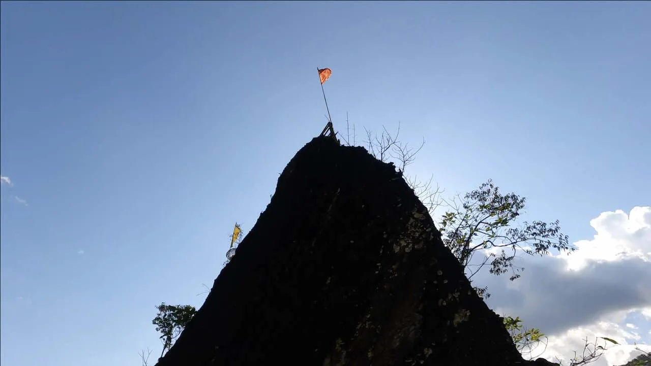
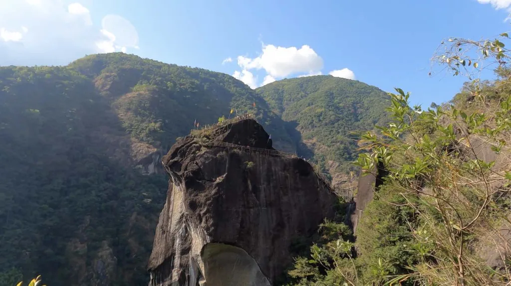
Remnants of this legend can still be seen from Mawmoit, a rock en route to Mawryngkhang and also from the top of Mawryngkhang. Kthiang a smaller rock stands behind Mawryngkhang. The decapitated head of Mawpator lies in the valley below. A chunk of missing rock on the left of Mawryngkhang is believed to be the missing left arm that was severed off in battle.
Construction of the bamboo bridges
The Wahkhen Tourism Promoters Trekking Society comprising of local Khasi villagers constructed the bridge in 2017. 5 suspension bridges across the Wahrew river and over 50 bamboo bridges along the trail were constructed at an expense of 10 lakh, borne solely by the Trekking Society. Roget Buhphang and Nising Khongjirem of Wahkhen have been credited by the Shillong Times for their engineering efforts in building the bridges.
The purpose of the bridge was to provide employment to the villagers of Wahkhen by promoting tourism. The Khasis are skilled in using what nature provides, like wood and bamboo, for construction. Their ingenuity and craftsmanship in building these bridges across rough terrain while having no formal engineering education is remarkable.

Essentials: Trek Guide, Travel Tips, and Local Eats
Trek and guide details
| Trek length | 3.7 km (two-way) |
| Trek type | Out and back |
| Elevation gain | 880 ft, approximately (from Wahkhen village) |
| Guide | Not required as the trail is straightforward. If needed, local Khasi guides can be hired at the entrance. |
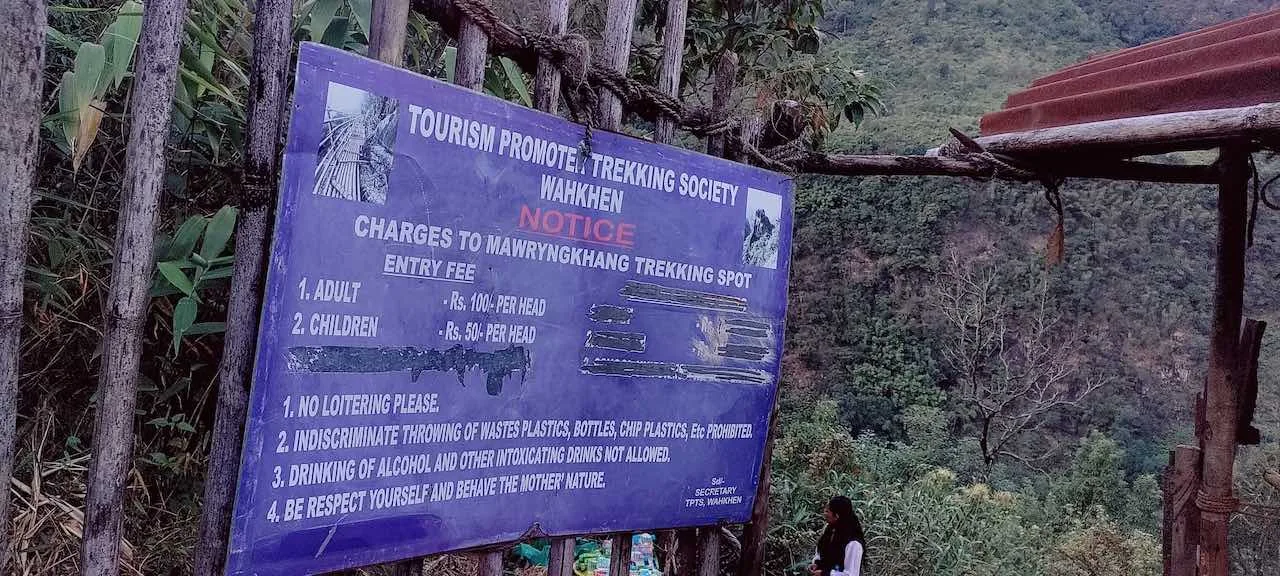
| Entry fees | ₹100 per head for adults ₹50 per head for children Cash and UPI payments are accepted |
| Parking space | In Wahkhen village |
How to get there from Shillong
Wahkhen is around 50 km from Shillong, and it takes around 2 hours to reach. Local taxis are abundantly available in Shillong, and they charge around ₹2000 to ₹3000 for a full day.
Food options
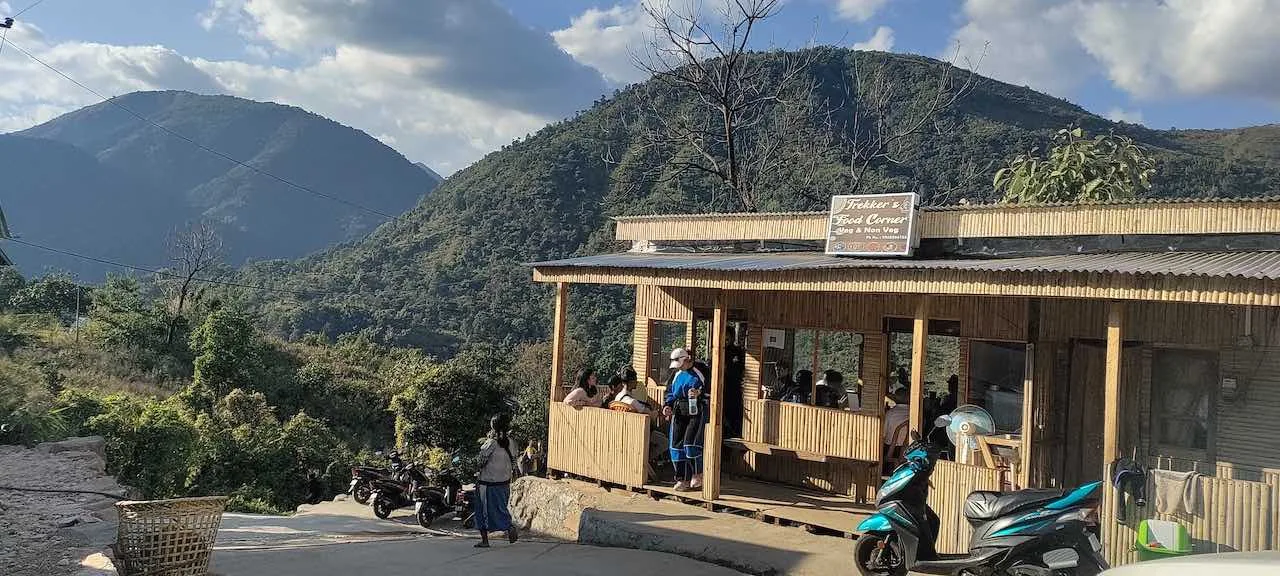
Vegetarian and Non-vegetarian food is available in small restaurants in Wahkhen village. On the trail, stalls selling Maggie (instant noodles), Jadoh (Khasi style rice), boiled eggs, tea and snacks are readily available.
The Trek Route
Wahkhen village to Wahrew river (0.5 km)
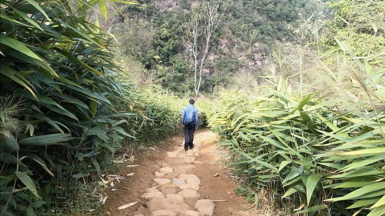
From the village, a downhill trail cuts through a dense broom grass (Thysanolaena latifolia) plantation. The trail descends at a moderate gradient over man made stone steps and ends at the Wahrew river.
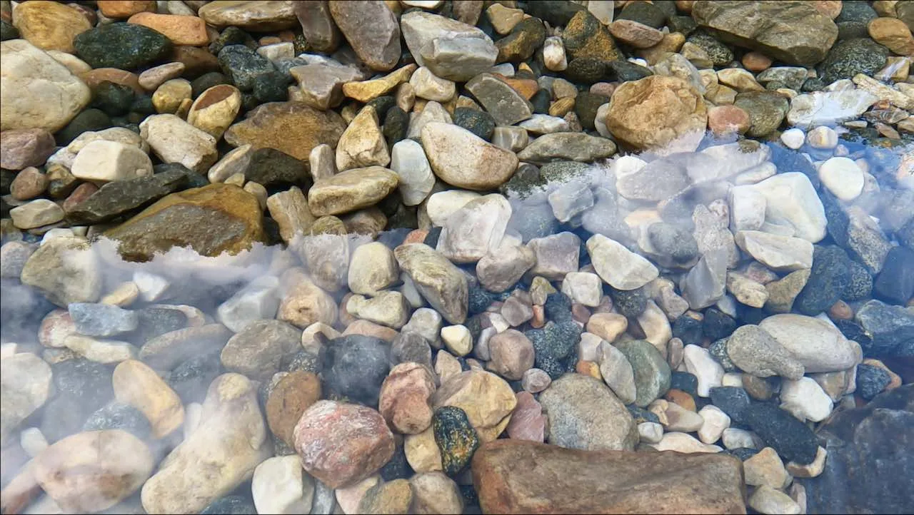
Wahrew is one of the most pristine rivers in the region. Rocks of varying shapes and colors that form the river bed are distinctly visible from the surface.
At Wahrew, you see the first bamboo bridge. The absence of a flat solid surface to walk on, might trigger scepticism about the sturdiness of the bamboo bridge, but they hold up very well. If doubt still creeps in, know that the tensile strength (maximum stress a material can bear before breaking) of bamboo is four times more than that of concrete.
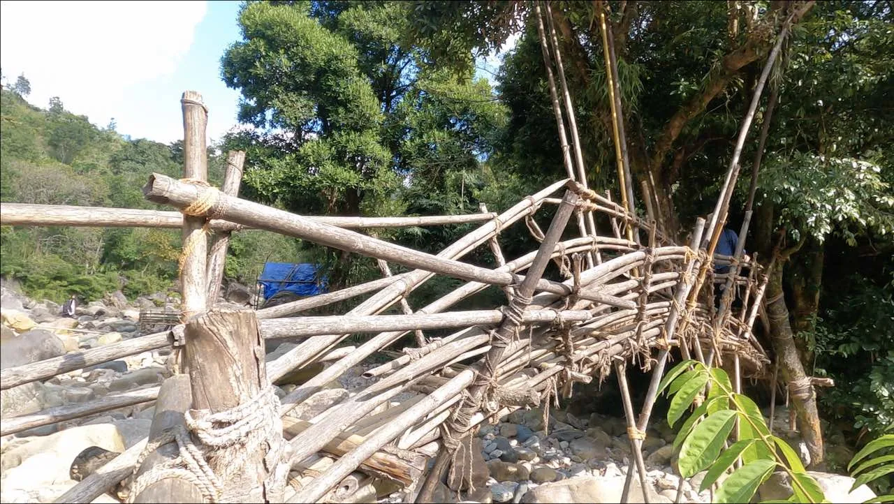
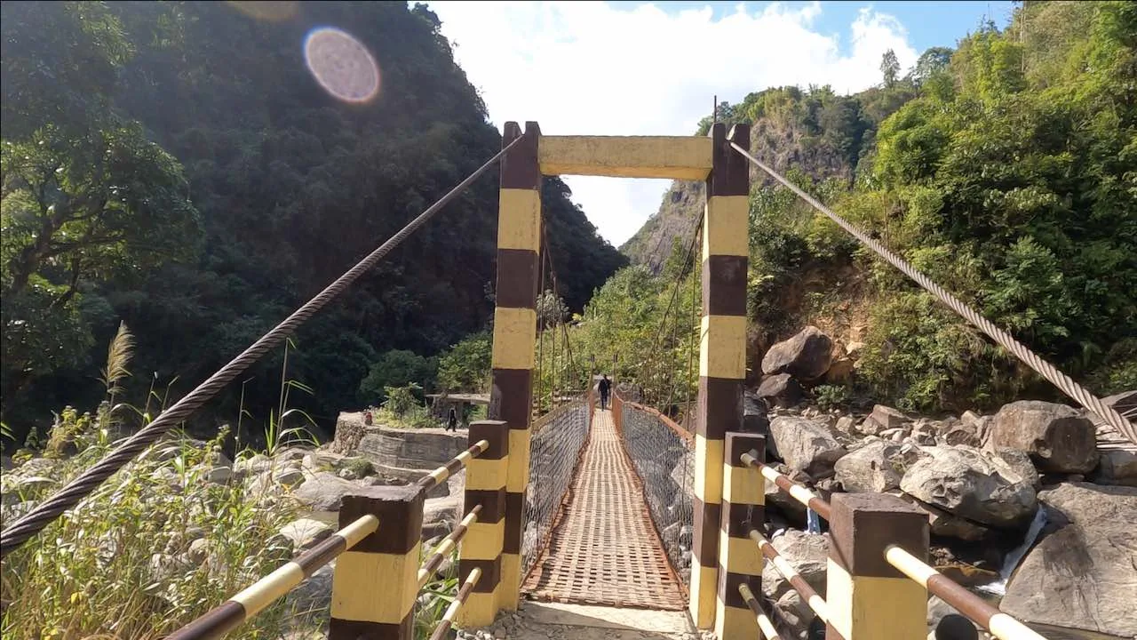
A little further ahead is a second bridge to cross the river. Here, an older, broken bamboo bridge has been replaced by a newer one made of steel and concrete.
Wahrew river to Mawmoit viewpoint (1.52 km)
To the natural swimming pool
From Wahrew, the trail ascends gradually. It runs mostly over bamboo bridges, with stone steps and mud trails interspersed in between. Most of the bamboo seemed to be well maintained and did not show any signs of deterioration.
About a kilometre in, there is a natural swimming pool and a shop for refreshments. Entry for the pool is charged at ₹30 per head for adults and ₹20 per head for children. Life jackets and a temporary set of clothes for swimming are provided at the shop.
By the Mawkhleing cliff
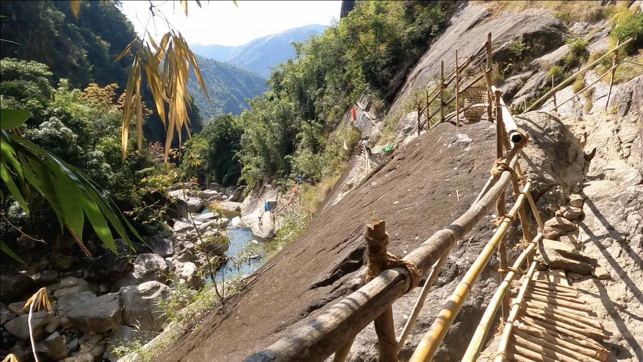
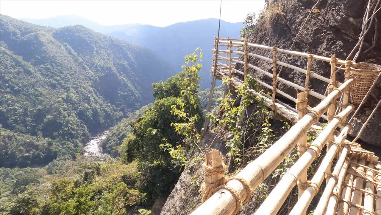
After the pool, a small bamboo ladder leads to a section of bridges which closely hug the rock on the right. To the left is a gorge where the Wahrew river flows. A little ahead is one of the most exhilarating portions of the trek. A skywalk made of bamboo.
The Mawkhleing cliff, on the right, gradually turns nearly vertical and there is no visible landing spot below the bamboo bridge besides the gorge. The Wahrew is reduced to a tiny stream at this height. The seemingly floating bridge is held in place by vertical poles jutting out from below it and resting on the cliff. What induces fear here is the realization that if the bamboo were to give way, there are no grips to hold on to and no spots for your feet. It is one long and painful slide to the bottom.
At the Mawmoit viewpoint
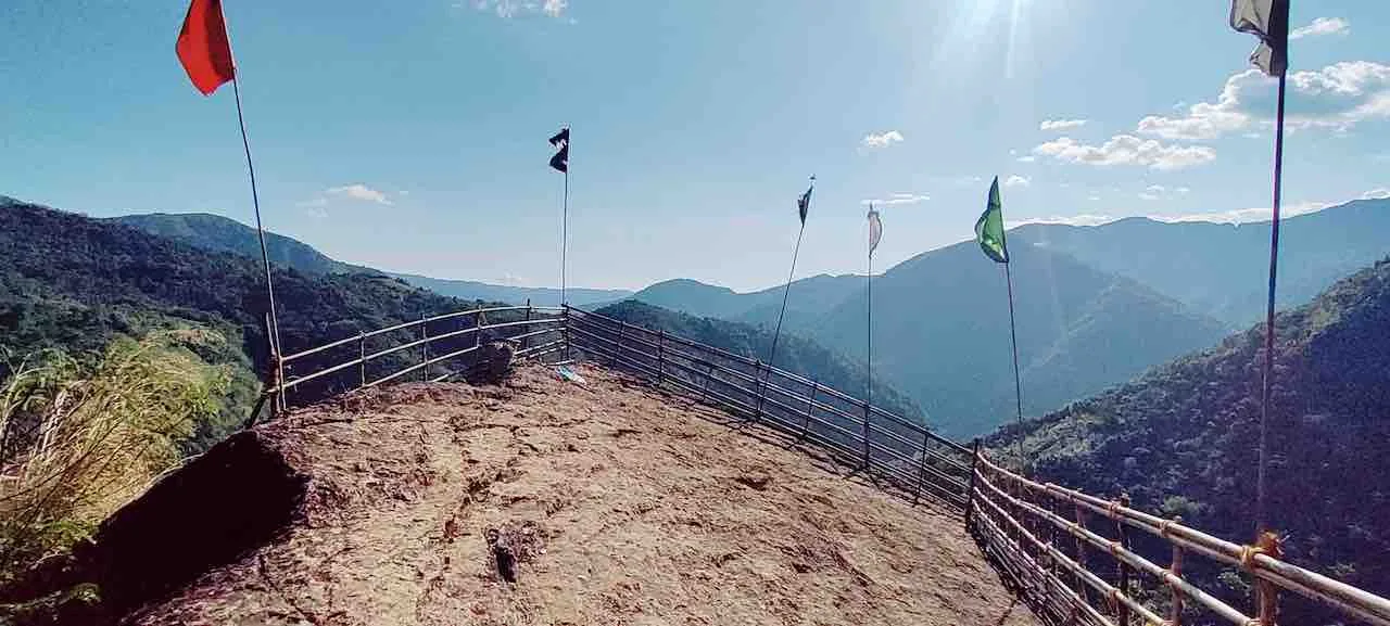
Fear gives way to awe at the Mawmoit viewpoint as you first witness the U Mawryngkhang rock and the treacherous path constructed around it to reach the top. Adorned with colourful flags, Mawryngkhang stands out from the surrounding vegetation, with Kthiang behind him.
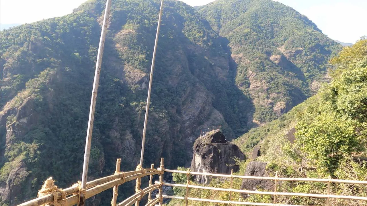

Mawmoit viewpoint to U Mawryngkhang (0.2 km)
The trail descends along bamboo ladders and a tight squeeze between boulders gives way to a wider region with stone steps. Bamboo bridges continue, up and down, and an arch across a ravine leads to steep ascends.
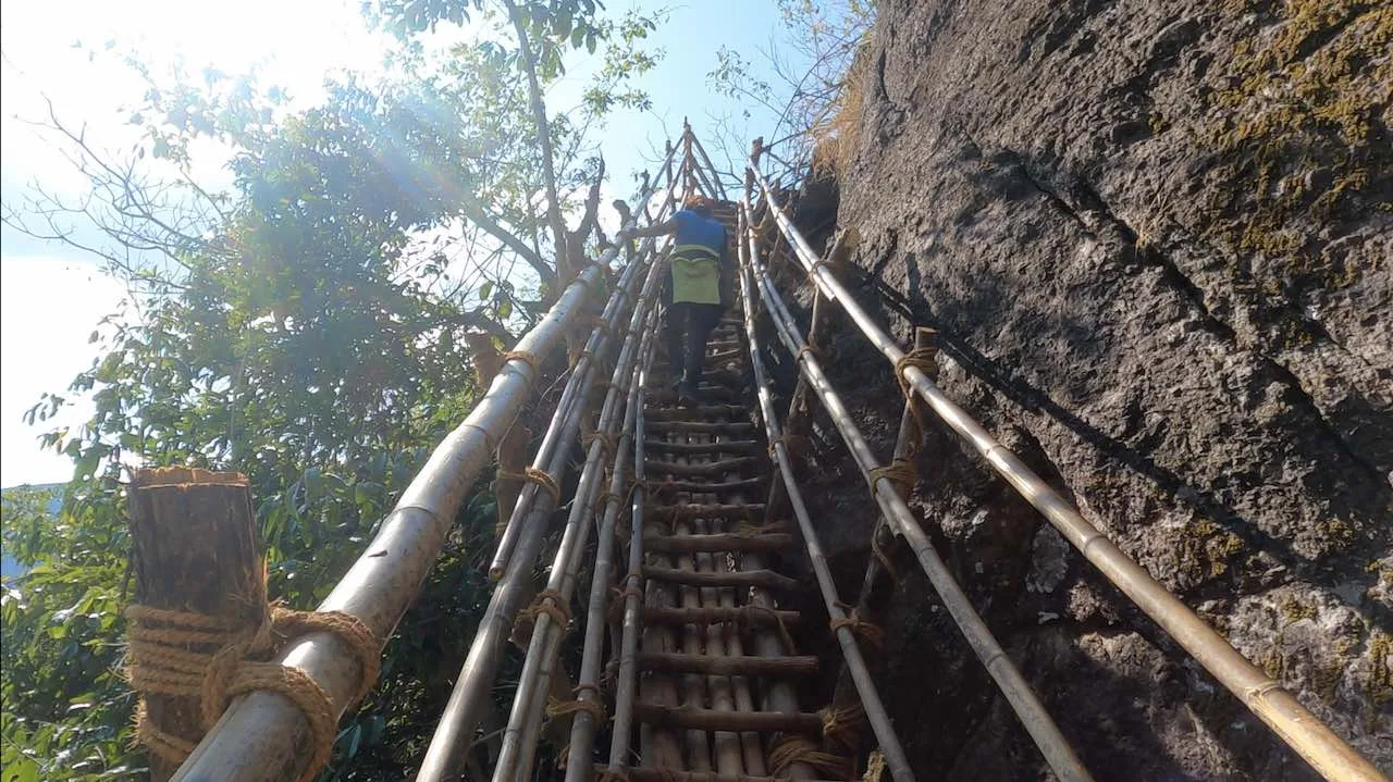
The back of U Mawryngkhang comes into view soon, and the final section is a climb up over his spine on bamboos constructed on the rock ridge. Two more small ladders, and you’re at the top!
Flags adorn the head of Mawryngkhang, akin to a crown. The sun shines from behind the clouds, and you see enormous green mountains that rise up one behind another to seemingly ever-increasing heights. The Wahrew river flows at the foot of Mawryngkhang and separates him from the mountains of the north. It is a splendid sight.
Back to Wahkhen village
The trek back is fairly easy. The only slightly challenging part is the climb up from the Wahrew river to the Wahkhen village.
If you have any questions, please don’t hesitate to leave a comment below. We’ll get back to you as soon as possible.



Can you enable zoom on clicking photos?
Sure, thanks.
What a beautiful trail…the local legend makes it even more interesting…walking on those bamboo bridges must be exciting, especially the traverse around the mountain with sheer drops on the sides! Keep writing and sharing more about such beautiful treks and places to visit!
Thanks, you’re always welcome to north east. Plan anytime.
How safe is the trek in mid August?
August falls in the peak monsoon season in Meghalaya, characterized by heavy and consistent rainfall. This can make the bamboo bridges slippery.
The best time to trek is typically from October to April, when the weather is dry and pleasant.
Thank you for such a detailed summary. We are planning to come with 2 older kids. Do you have any contact details for a Guide as well as good homestays here. Thank you in advance. Best, Subho
Thank you, Subho. We’re glad you found the summary helpful. We didn’t hire a guide during our visit, but there’s a ticket counter at the entrance where you can inquire about guides if needed. The route is well-defined and fairly easy to navigate, so you should be able to explore comfortably with your kids. Have a great trip!
Such awesome description. Thank you 🙏
Glad you liked it!
Me and my friend are planning for the trek so I would want to know if we’ll need guide for the trek or can we just trek by ourself.
Hi! The trail is well marked, so a guide isn’t necessary. You can do the trek by yourself if you like.
I head that guides are now compulsory from the government after a death that happened there. Is it true
Hi, when I went, a guide wasn’t required. But perhaps recent incidents have changed the rules, so best to check locally before you go. Thanks for reading!
Okay thank you.